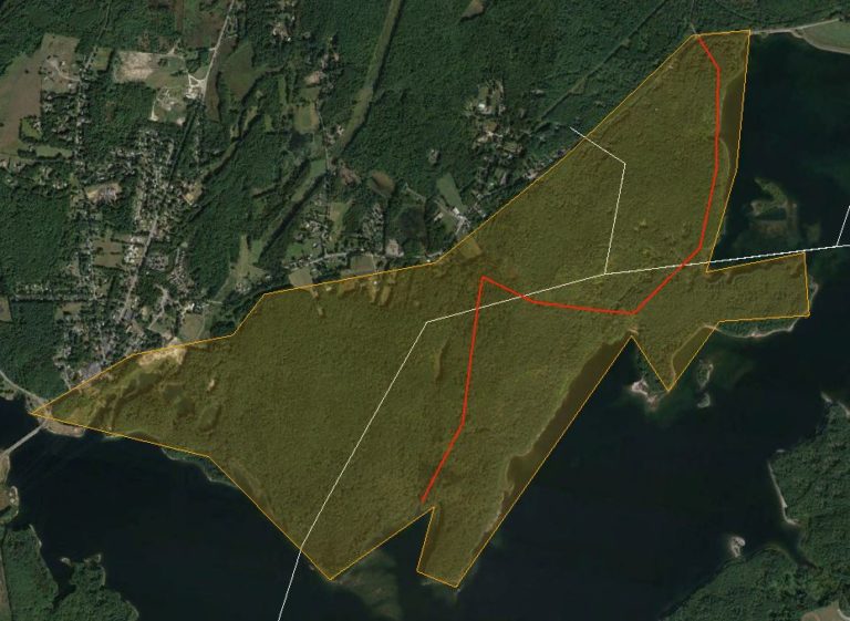
On the north side of the reservoir, all of the land running from the Old Church in West Boylston along Lancaster Street (Rte. 110) to Chase Hill Road (Gate 35) in Sterling and extending to the water’s edge is protected watershed. Two miles long and ¾ mile wide, this reserved area contains two square miles with about 15% of its area within Sterling, the remainder being equally divided between Boylston and West Boylston.
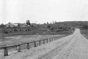
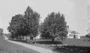
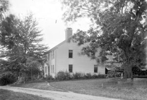
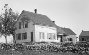
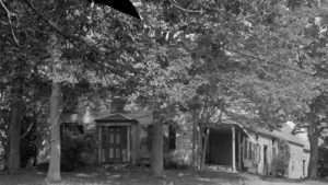
This area, which also includes French Hill, was once thinly settled farmland. The houses were all removed but cellar holes and the connecting roads and cart paths are still there, maintained as fire access roads and kept available for local hikers to enjoy. In the video, the trail numbers are marked in black within the road layout, in many cases just adjacent to each farmhouse. (See Trail Guide below)
In this section of the What Lies Beneath series, the trail starts at Gate 35 and follows old Chase Hill Road about a mile southerly to the place where it descends beneath the waters, passing three farmhouse locations (O’Conner, Keyes and Love) along the way, all in Sterling. Lands once belonging to these three farms, around thirty acres each, extend into the reservoir about a quarter mile but the house sites remain close to the shoreline, cellar holes and foundation walls exposed.
The trail turns westerly for ¾ mile along an unnamed road paralleling the Sterling town line, passing three more farmhouses (Lougee, Ball and Ferris). These house locations were located on slopes descending sharply into the valley.
Finally, the tour turns southerly again, passing by three more farmhouses (Cutting, Lamson and Andrews) following Lamson’s Brook before reaching the Reservoir’s northern shoreline near Lamson’s Cove for a total distance of 2 ½ miles.
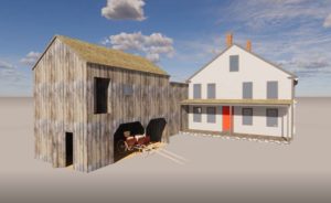
In those days, the cart paths connecting the farmhouses ran literally door-to-door, in most cases passing between house and barn.
The video follows the route without stopping and, for a closer look, a link to each house is provided. This whole route is 2 ½ miles long so if you hike it, remember you have to get back…before dark.
Thanks,
Paul


")
