What Lies Beneath
What Lies Beneath – Clinton
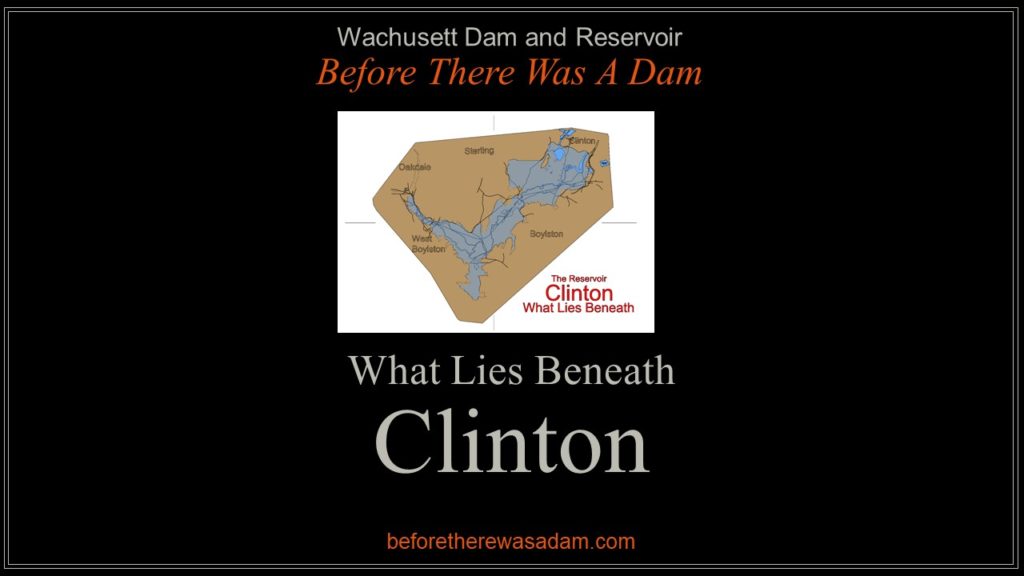
Welcome to the second post in the series What Lies Beneath, the story of the Wachusett Reservoir valley as it appeared before the coming of the Wachusett Dam.
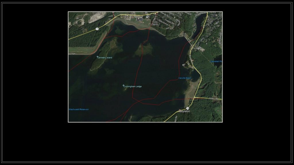
In this tour the route begins in Clinton at the end of South Main Street (Gate 40). Imagine the road continuing straight through the towering North Dike, past Cemetery Island and the submerged Sandy Pond, and descending southward into the valley below.
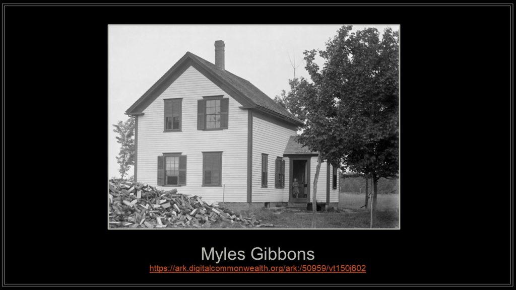
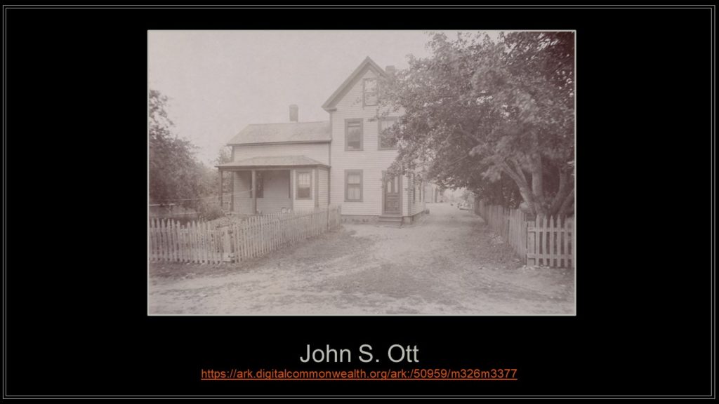
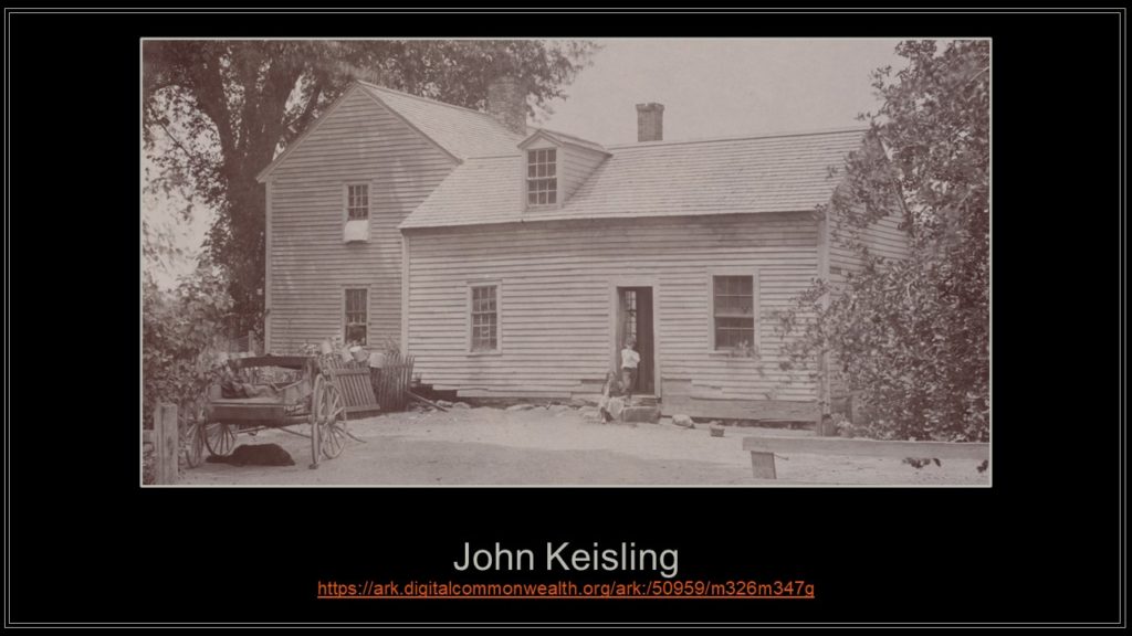
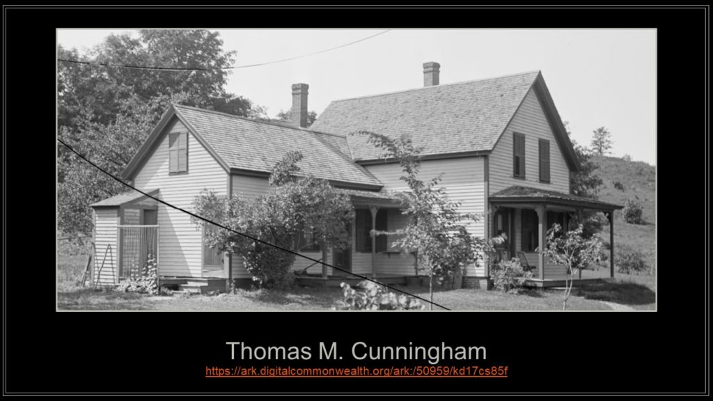
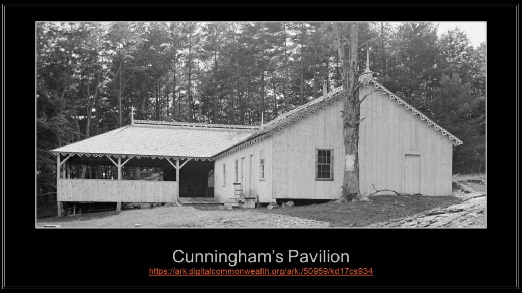
Along the way, see house models of Myles Gibbons, among the last to be demolished and protruding above the surface about 300 feet offshore, and John S. Ott whose driveway remains a lonely dry spot that can still be seen from the North Dike today. Follow the western side of the valley past the farms of John Kiesling and Thomas Cunningham to the dancing Pavilion near the top of Cunningham’s Ledge before crossing the river to the opposite side.
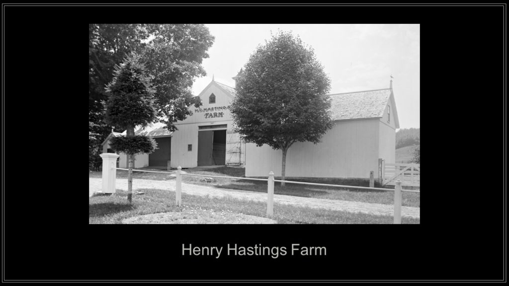
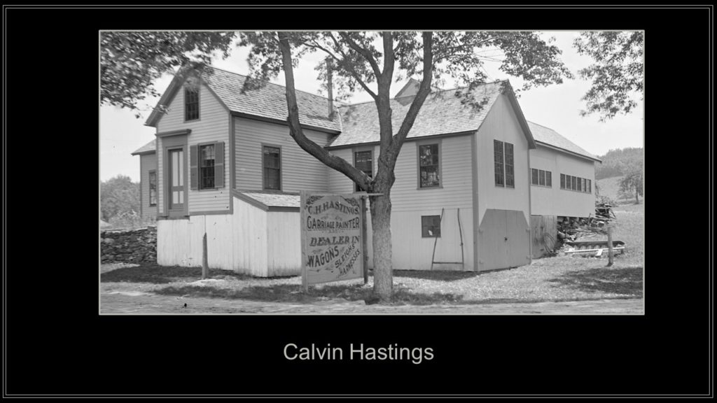
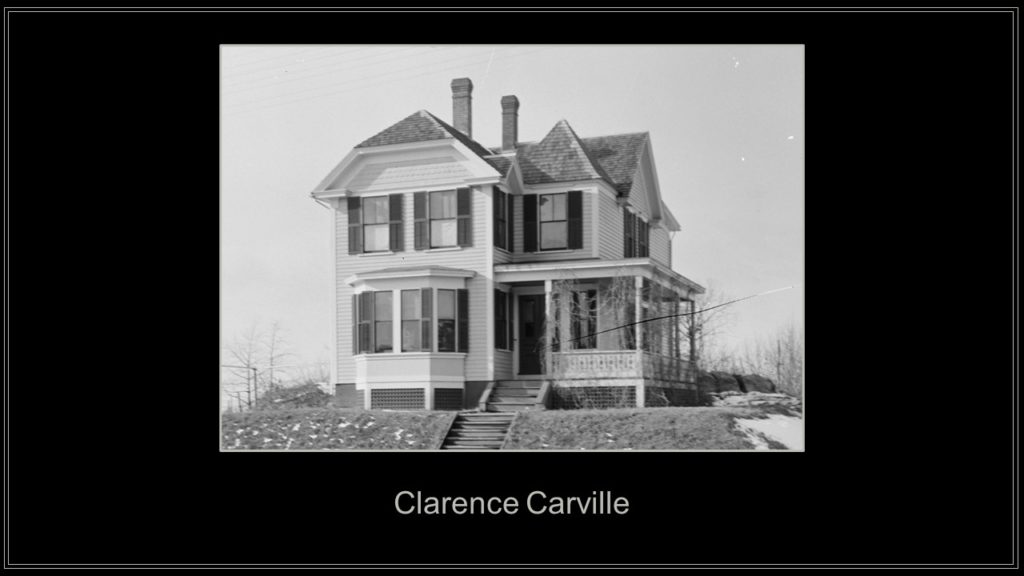
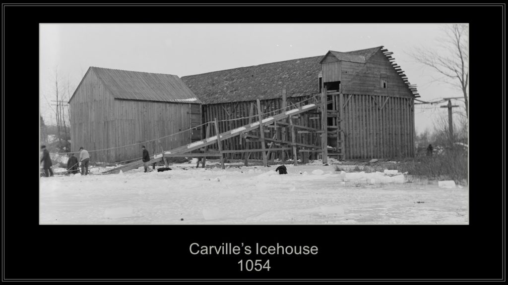
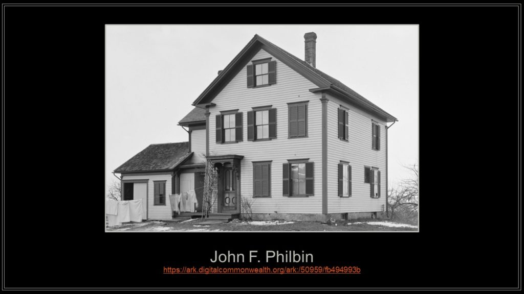
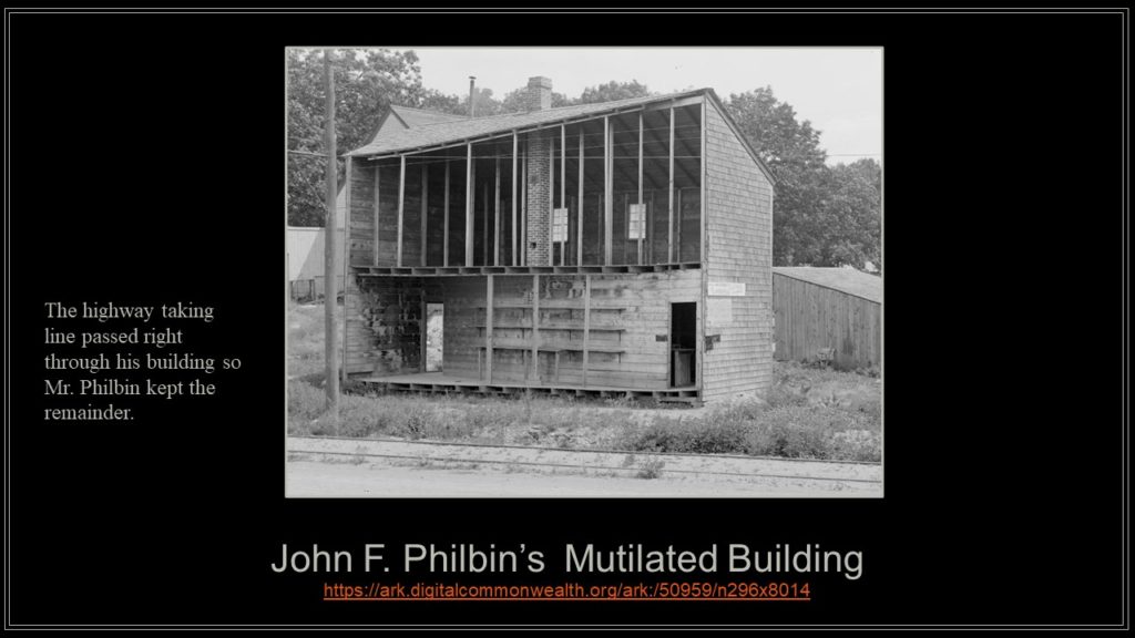
Turning to the north, the Old Boylston Road leads past the Hastings brothers’ businesses, the Carville brothers’ pond and icehouse before reaching John F. Philbin’s farm near the entrances to the Cosgrove Intake and Clinton District Courthouse.
This segment ends there but…there will be more to come.
Thanks,
Paul