Wachusett Dam & Reservoir
What Lies Beneath
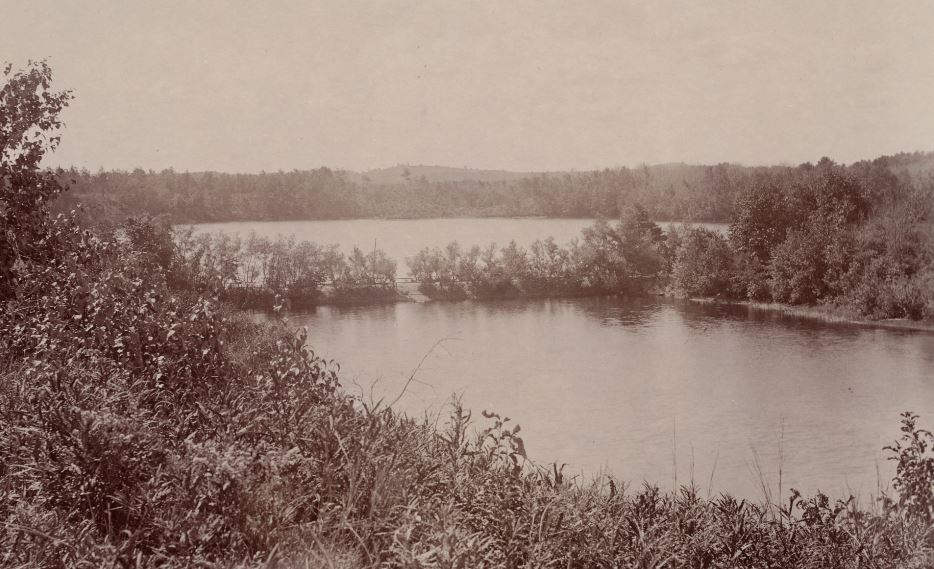
Coach & Sandy
The Causeway between Coachlace Pond (foreground) and Sandy Pond
(looking south, between the two schools today)
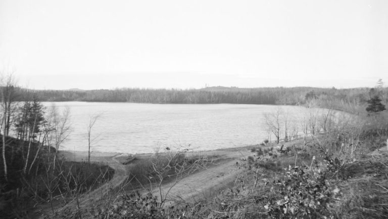
Looking west across Sandy Pond from the Causeway
(The Roman Catholic Cemetery and South Meadow Road is off to the right.)
The coming of the Wachusett Reservoir to southwest Clinton displaced many families in Coachlace and Sandy Pond area, especially along South Main Street, but a number of the houses remaining there are prominent in the photos of the time.
In this article the streets, and most of the houses, are shown in their original positions. In some cases I superimposed them on Google Earth to present a better idea of exactly where they were. Many who live there today will be amused by just whose land their houses are on.
I hope you like it. And a special shout out to my friends in my old neighborhood.
Thanks,
Paul